route library
BREAK NEW GROUND
make new tracks, chase shining horizons, endless immersive environments, feed your soul
A CURATED SELECTION OF ICONIC RIDES
Over long distances the best way to stay on track is to download the GPX routes from our Route Library into your navigation device. This way you will spend more time soaking in the scenery and less time taking wrong turns and studying maps.
To learn more about cycling navigation and how to use GPX route files scroll down to read our simple how-to guide. In a few clicks you will be on your way to discovering iconic rides and hidden gems to explore by bike.

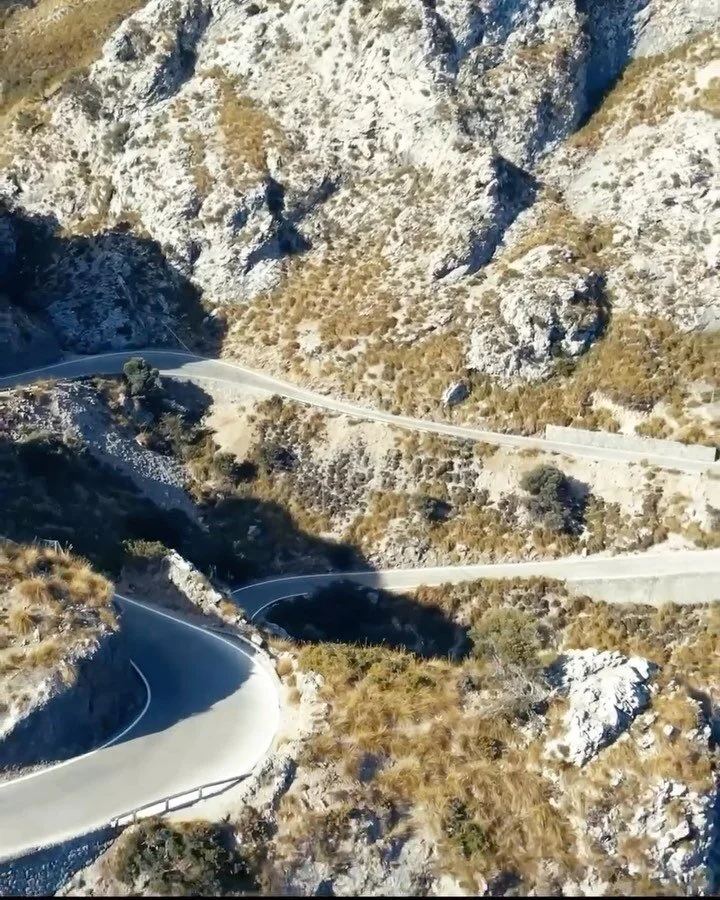
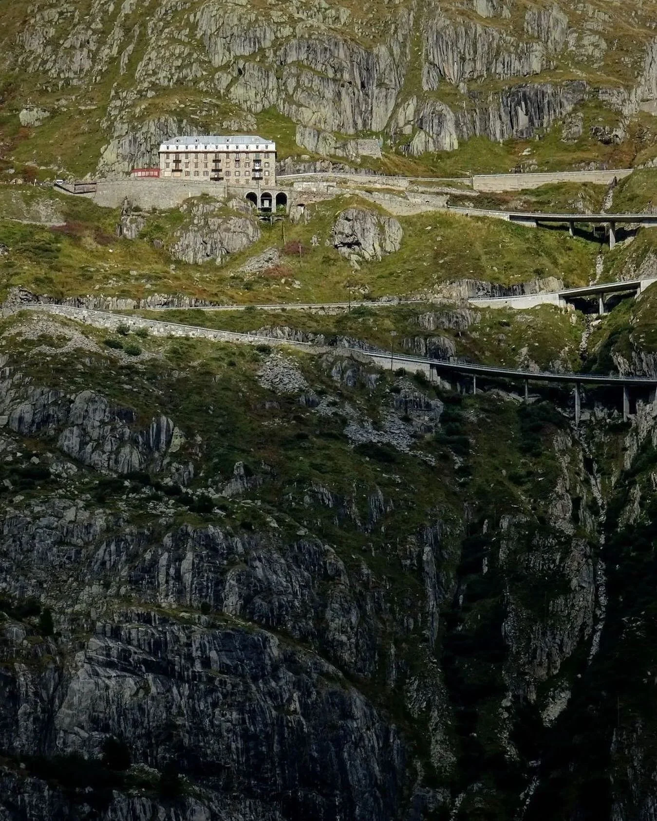
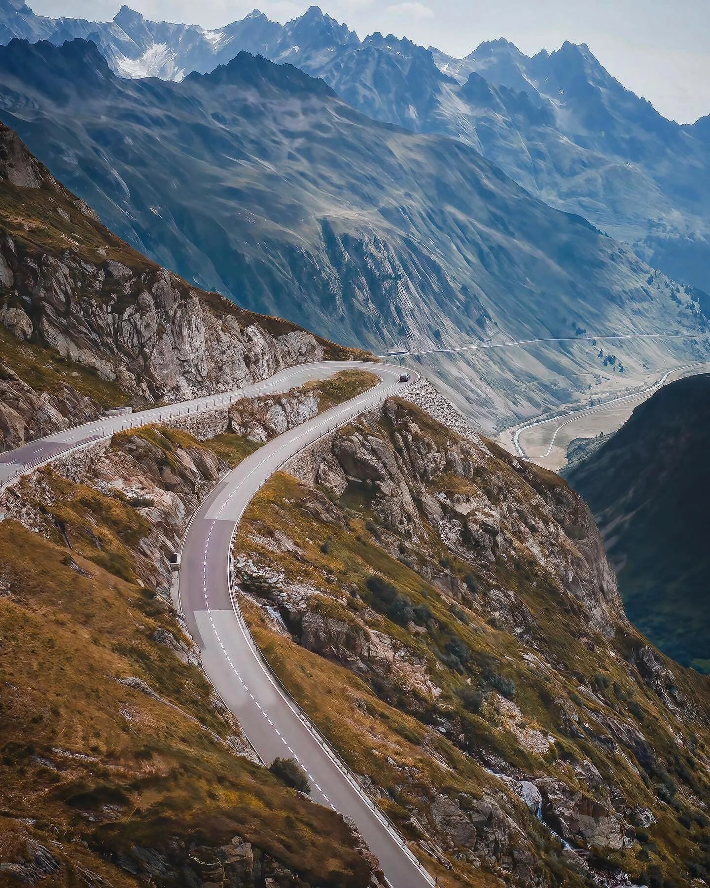
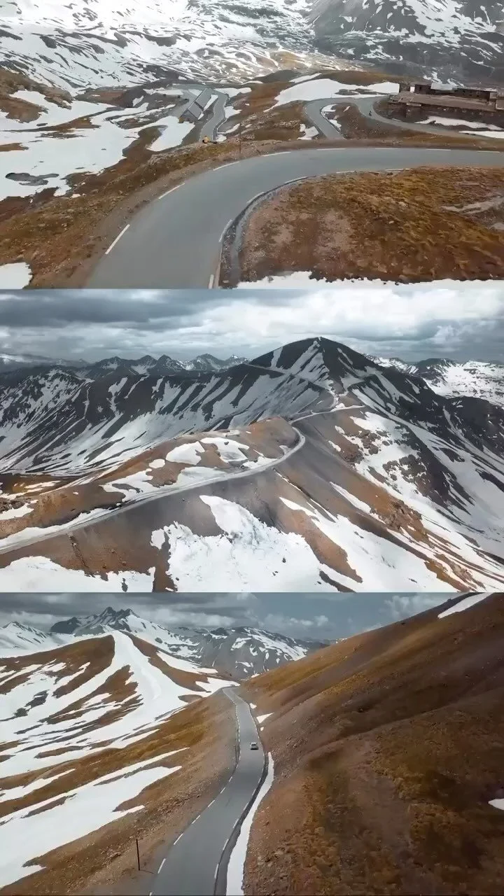
the alps
ICONIC CLIMBS
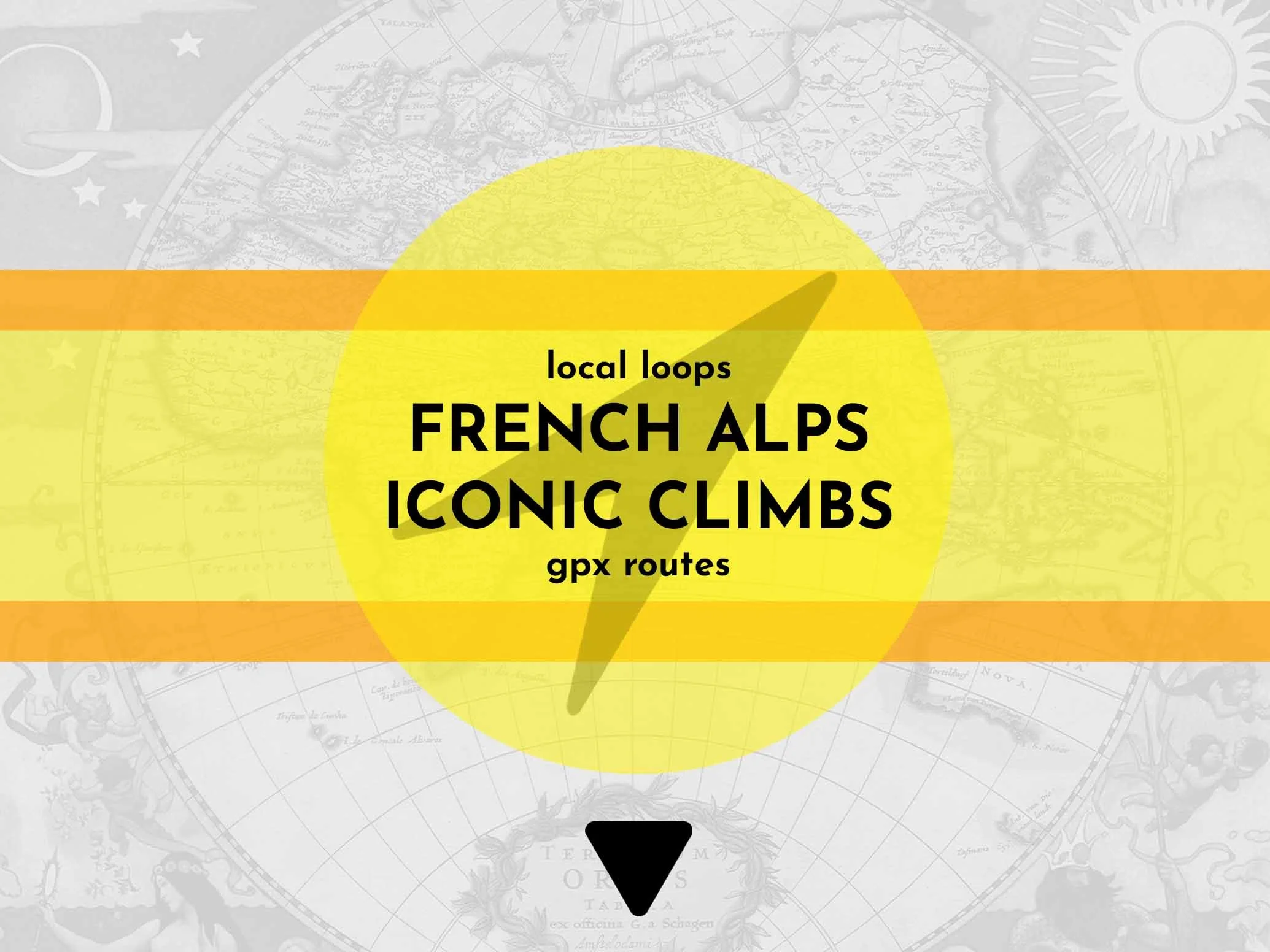

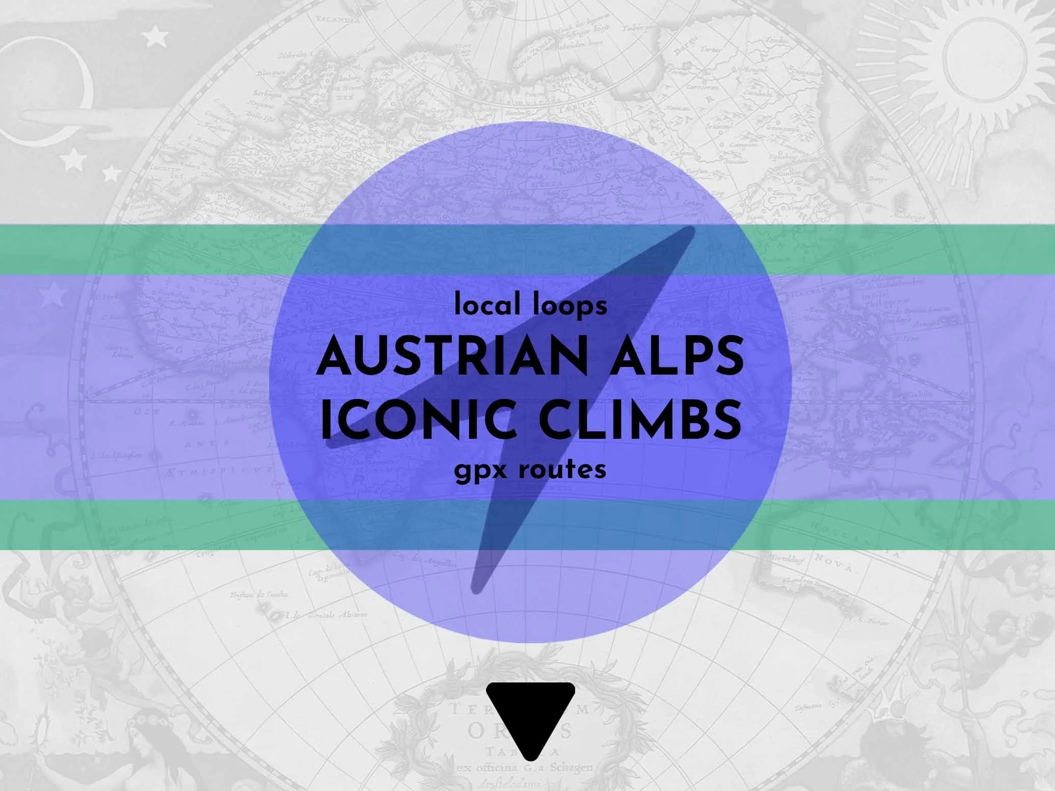
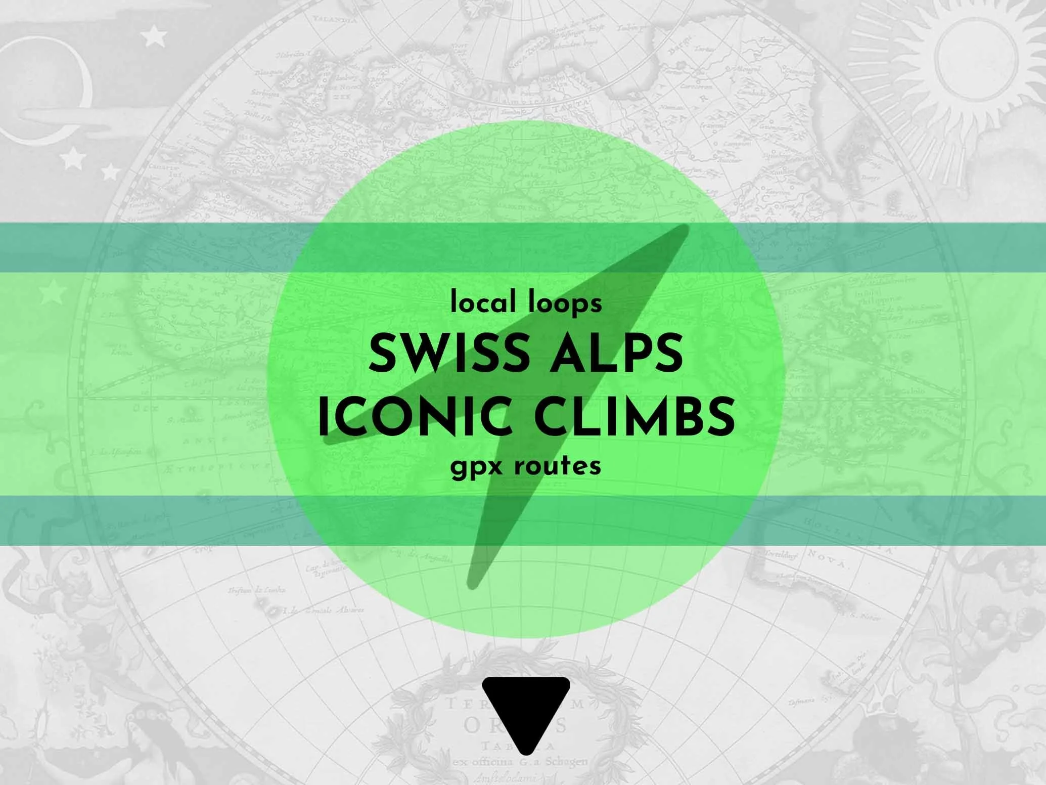
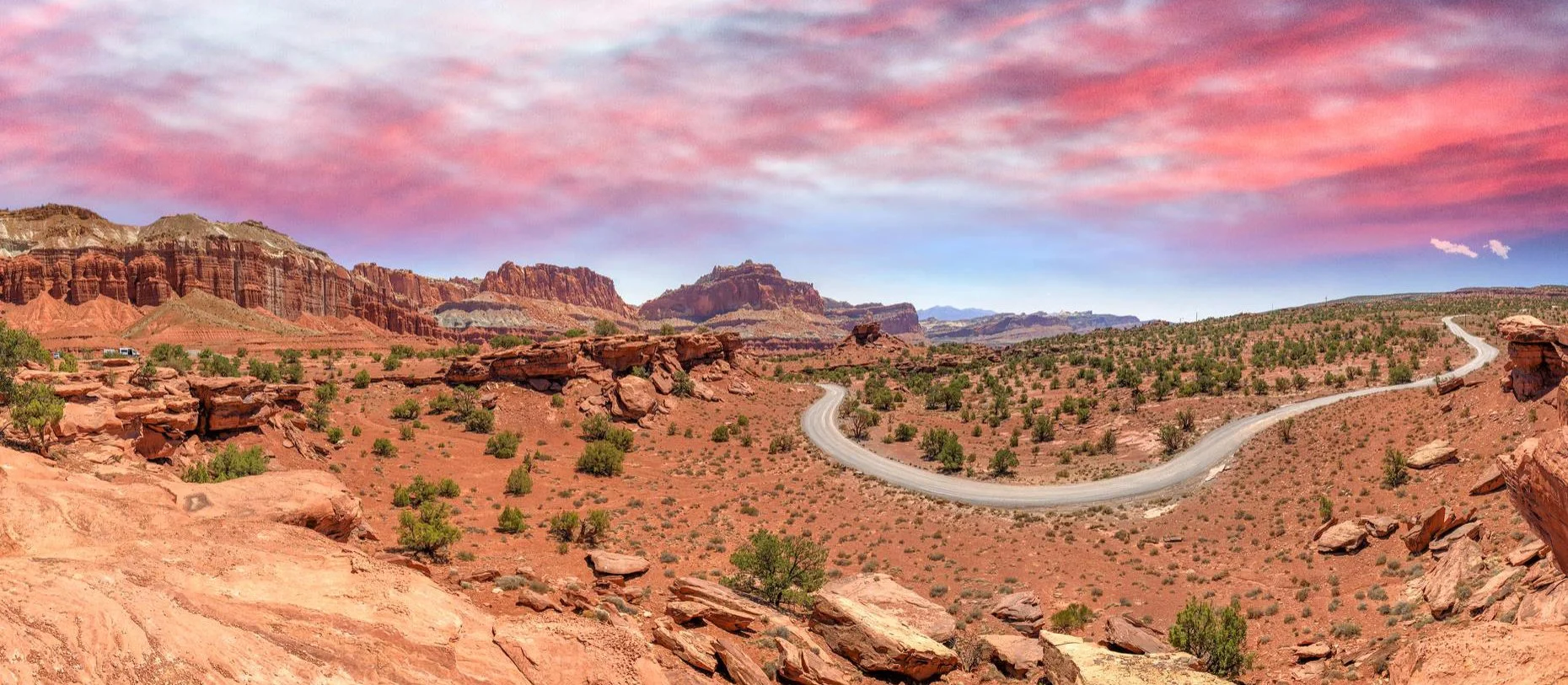
They need no introduction, Europe’s most famous and imposing high mountains stretch 1200 kilometres across eight countries, most notably France and Italy alongside the land locked Alpine landscapes of Switzerland and Austria. Among the most beautiful, exhilarating and in many cases brutal and rewarding cycling in the world. This is where some of the most famous mountain climbs hide in plain sight and several international gateways make these remarkable locations more accessible than ever.

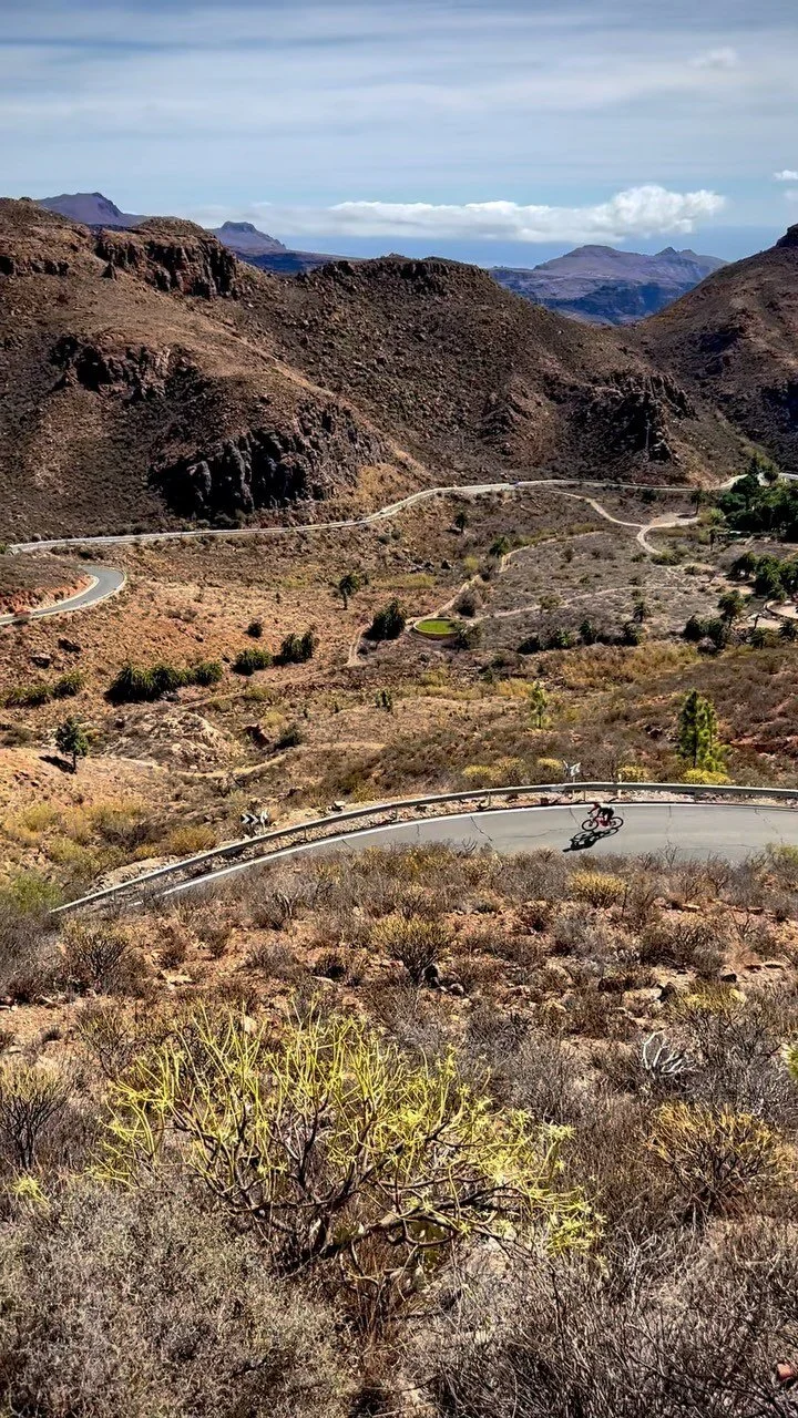
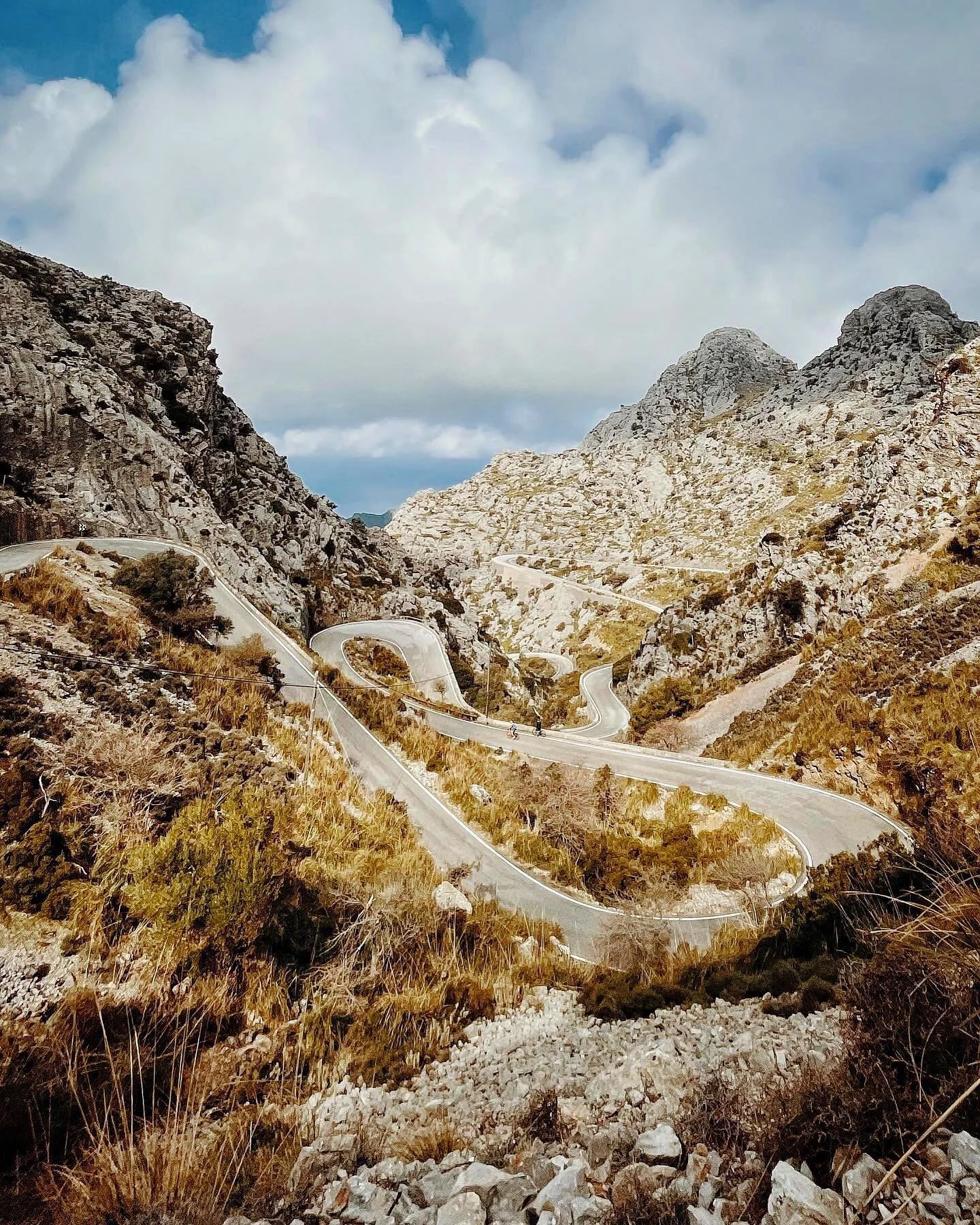
mallorca
SERRA DE TRAMUNTANA


Discover the cycling mecca of Mallorca and the stunning Serra de Tramuntana mountain range which dominates the Balearic island’s north coast from Andratx in the south to the lighthouse on the tip of Cap de Formentor in the north. Take on Mallorca’s longest climb Puig Major, the infamous, twists and turns of Sa Calobra, serpentine switchbacks over Coll de Soller, striking scenery on Coll de Femenia and countless more exhilarating rides.
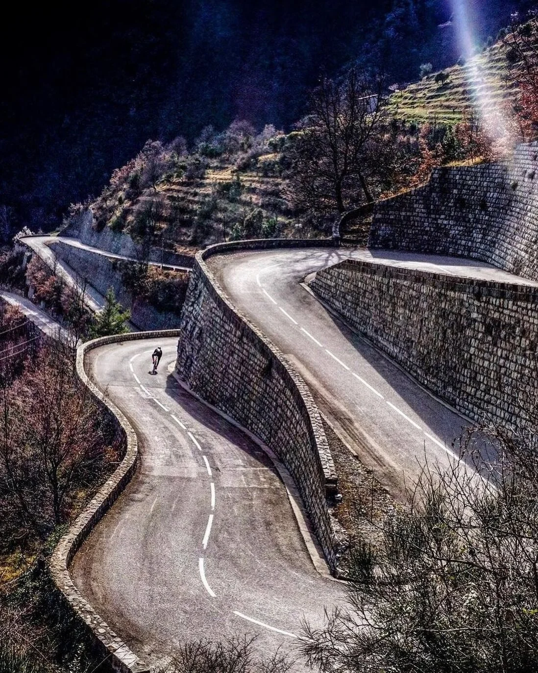
liguria & cote d’azur
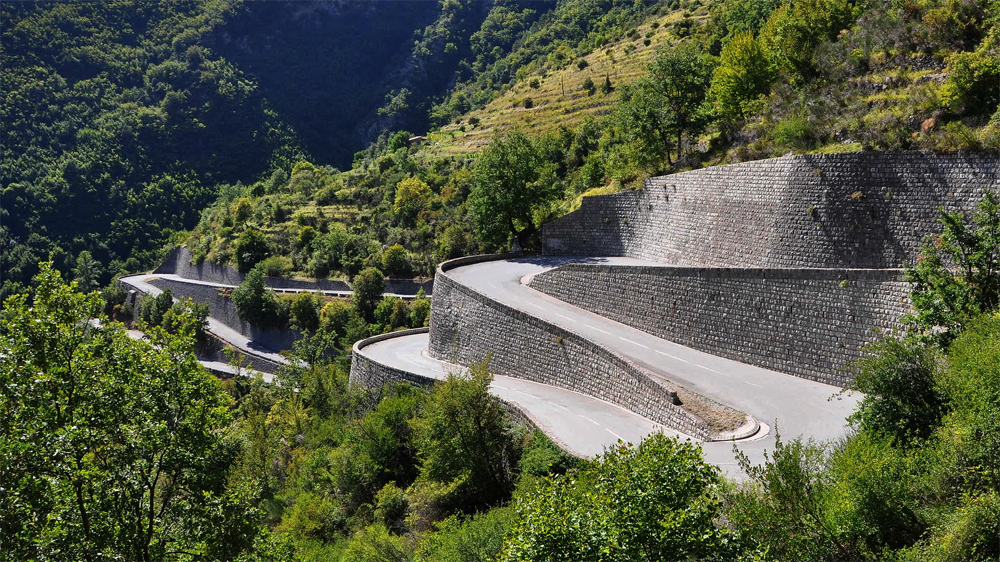
ALPES MARTIMES

The Cote D’Azur and its close neighbour Liguria, the crescent shaped region in Italy's northwest, sit sandwiched between the Alps and the Mediterranean sea known as the French & Italian Riviera’s. To the west is the other-worldly red rock landscape of the Massif d’Esterel, to the east the famous five fishing villages of the Cinque Terre and inland the infamous mountain passes of the Alpes Maritimes. All wrapped up, a picturesque cycling paradise.

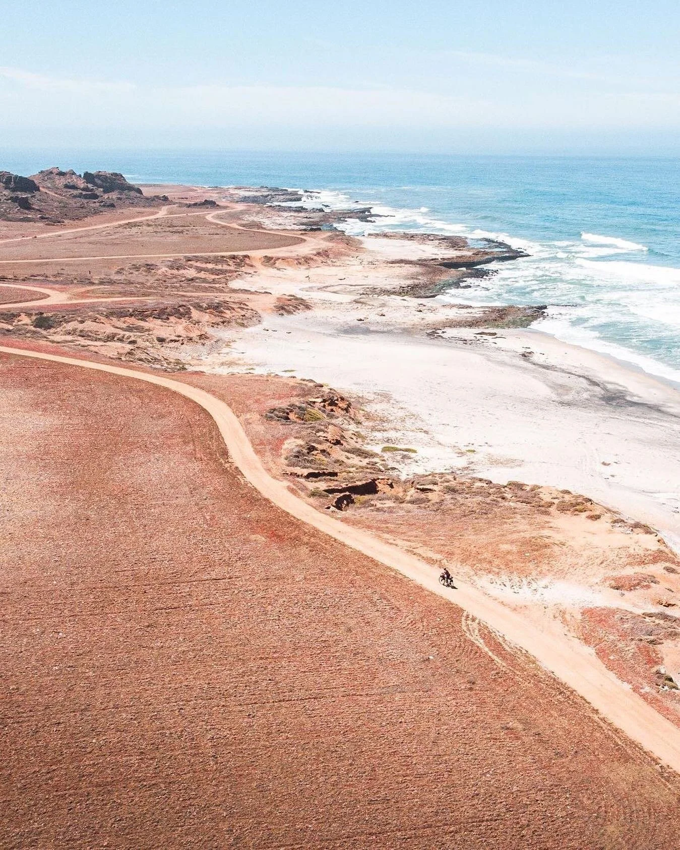
sardinia
TYRRHENIAN COAST


The Italian island of Sardinia is a cycling playground with nearly 2000 kilometres of coastline, hidden beaches and a mountainous interior. The south remains relatively unspoilt teeming with wildlife, prehistoric sites and some the most alluring natural habitats on the island. The heartland of Sardinia’s east coast is the wild Supramonte which delivers dramatic scenery from the beautiful beach lined coast to the rugged inner mountain ranges characterised by sheer limestone cliffs, plateaus and valleys packed with wildflowers and wildlife.

costa daurada & garraf
BALEARIC COAST


Literally translated ‘the golden coast’ Costa Daurada takes it’s name from the colour of the sand under the sun from spring to autumn. It’s a rich and varied region from the Balearic coastline and inland, dotted with secluded villages between cultivated fields and vineyards through to the striking mountain landscapes. Boasting spectacular coastline along the winding coast from Castelldefels to Sitges and on to Barcelona, Garraf delivers amazing views all the way. As the house coast to the Catalan capital, it’s also the gateway to spectacular mountain rides beyond the city to the interior.
ABOUT OUR GPX ROUTES
If you’ve ever dreamed of exploring the Cote d’Azur, or neighbouring Liguria by bike, cruising the coastlines of Sardinia to the mountainous Gennargentu national park or discovering the wilds of the Spanish coasts, you’ll find the routes you need in our GPX route library.
The city-to-city routes which accompany our cycling guide books are free to download. These long distance routes break down the ride into four or five stages, of up to one hundred kilometres each, making the journey manageable for anyone who wants to explore the full length of these amazing regions.
“Not all those who wander are lost.”
Alongside the city-to-city routes are a curated selection of loops in the same regions. The iconic climbs you’ve seen on Instagram and easy day rides are here, so you can explore the area by following in the tyre tracks of local cyclists. Each region contains rides for every ability and ambition, our grading system is quick to digest, based on distance, total climb, single biggest climb, and an overall rating. Refer to the image card for a colour coded overview.
Ride with the confidence that you are cycling through the best of the region, on tried and tested cycle friendly routes. There is so much to explore, newcomers will find plenty of reasons to fall in love with the sport while seasoned cyclists can discover challenging routes to test their legs.
GET A TASTE
Of the ride to the lighthouse on Cap de Formentor, Mallorca’s iconic landmark on the northernmost tip of the Spanish, Balearic island. The rugged and dramatic scenery is formed where the Serra de Tramuntana mountain range meets the crystal blue Mediterranean sea. Alpine-esque hairpins navigate through pine forests and out along wind-beaten jagged limestone cliffs.
WHAT ARE GPX ROUTES?
GPX stands for General Positioning eXchange, an ideal navigation format for anyone who loves exploring the great outdoors. GPX routes are perfect for cycling and they’re also popular for running, hiking and many other pursuits.
A GPX file is simply a list of coordinates in a sequence which combine to make a route. When applied to a map, the route can be printed or followed on screen in a navigation app or device, according to your preference.
If you want to go a step further, they can also be edited to create your own bespoke routes by using dedicated software. However this can be a time consuming process, especially for longer routes, so we’ve done the work for you.
File sizes are small, as they are essentially a simple text file, so they are easy to transport and share. This also makes them universal, one GPX file can typically be read by many different mapping apps and GPS devices.
““Travel…the best way to be lost and found at the same time.””
Some applications record additional information including times at various points along the route, locations, and other data which can be really useful for analysing your performance after the ride.
Our route files are clean and simple to ensure they can be read by your preferred device. We include a sufficient number of coordinates to ensure the route accurately follows the roads or trails without excessively draining your battery life.
Most important of all, while we aim to get you from start to finish as efficiently as possible, you’ll want to take the scenic route and wherever possible avoid major roads and traffic. We’ve ridden all our routes, and vetted the loops, so you can simply download and enjoy the ride.
HOW TO USE GPX FILES?
You don’t need to be a tech expert to use GPX files for cycling navigation, getting started is straight forward. Follow these steps to get set-up and on your way in no time.
Select the routes you want to explore, go to checkout and download the free GPX files to your computer or smart phone.
Import the GPX files into your smart phone app or the navigation software supplied with your GPS device. If you’re using a smart phone the route will be displayed within the app, while for GPS devices the route will be imported from your phone or computer to the device, follow your manufacturers instructions.
Get out there! Once you’re close to the starting point or anywhere along the route, start your navigation app or device and enjoy the ride.
Now you can ride with confidence that your heading in the right direction, avoiding wrong turns and without stopping to check maps. Keep one eye on your navigation, but most all enjoy the scenery.
CYCLING NAVIGATION DECODED
So you know where you want to go, you have your GPX route, but what are the best navigation options for finding your way around? There are two main cycling navigation choices available and both give live turn-by-turn directions along the ride.
Firstly, apps for your smart phone and secondly, GPS navigation devices. They both use GPX routes and can be used in combination or independently. Here we look at a few of our favourites.
APP NAVIGATION
App navigation for your smart phone is the cheapest and quickest way to get started. Some apps are free while others require a subscription. The downside is demand on phone battery life which may not last a day without charging on longer rides, particularly if your screen is always on.
For a simple and easy start, check out BIKEGPX. It’s free, stores and maps our GPX files on your phone and, while it only has the most basic features, is sufficient to get you going. If you need detailed maps and more features such as route editing try KOMOOT which gives voice directions while riding and offline navigation to save battery life and roaming charges.
When using apps you’ll need to mount your smart phone safely where you can see it. We highly recommend QUADLOCK to fix it neatly and securely it to your handlebars.
GPS NAVIGATION
GPS devices (Global Positioning System) work in any weather, all over the globe, 24 hours a day without subscription fees or data usage charges. GPS cycling navigation tracks your location via satellites and maps your route on screen.
For the most comprehensive range of cycling devices, at prices to suit most budgets, GARMIN has a great offer of full screen map displays. Alternatively WAHOO is a strong contender for long distance tours and short rides alike. We also love the simplicity of the BEELINE compass display which only shows the direction of travel while the detailed maps are stored in the accompanying app.
All these units work with our GPX routes once uploaded into their applications and then transmitted to the device before you set off.
FOLLOW OUR JOURNEY ON INSTAGRAM